Drone Roof Inspection
Use drone imaging to document broad or hard-to-access commercial roofs in Fontana, then pair aerial views with close checks of critical roof details.
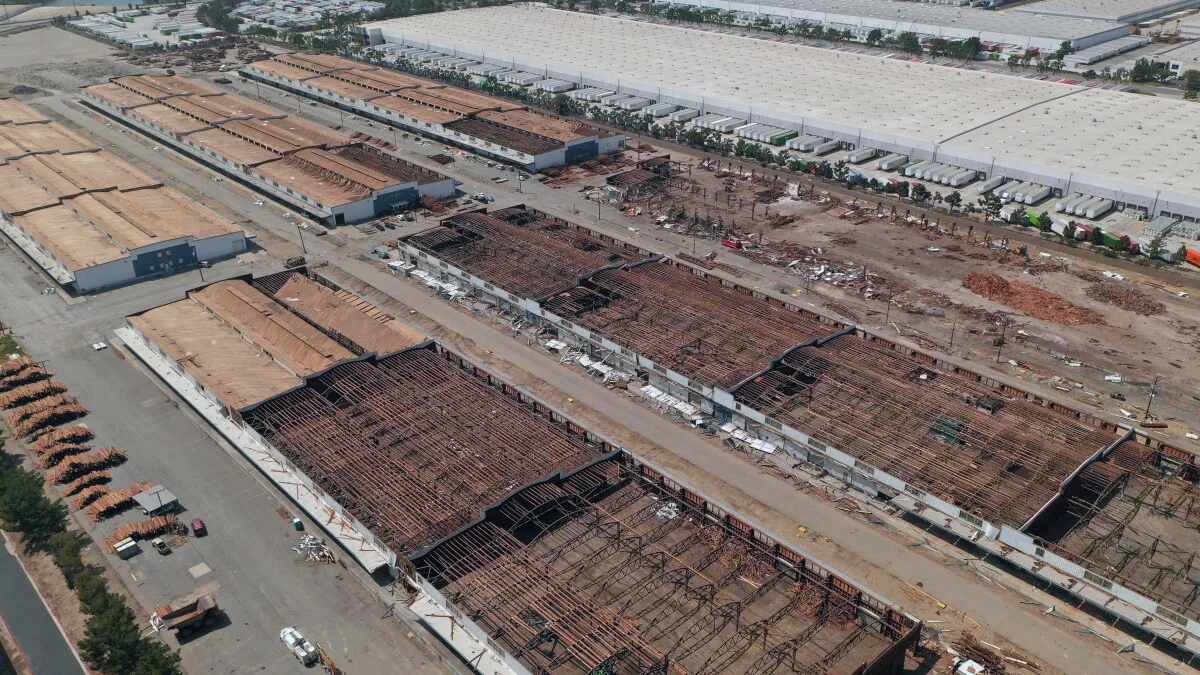
A busy loading court can restrict where a ladder or lift belongs. In Fontana, CA, drone imaging can add a roof-level overview when a commercial building is broad, difficult to access, or divided into many zones. The images help locate visible seams, ponding, debris, edge details, and equipment in relation to one another. They do not show concealed moisture, prove attachment, or replace hands-on inspection at a flashing or termination. We plan the flight around site access, weather, airspace requirements, and the owner’s operating schedule. The deliverable labels roof zones and records image limits so a building manager can direct a follow-up field check. Aerial photos are most useful when they answer a specific planning question, such as where to test, which drainage areas need close review, or how to stage later repair work.
Set a safe imaging window
Before flight, we confirm the property contact, roof boundaries, site restrictions, tenant activity, and the locations where vehicles or people may enter the work zone. The owner identifies sensitive operations, roof access rules, and any adjacent area that cannot be crossed. Weather affects the image quality and flight safety; wind, visibility, and heat are evaluated on the day, not inferred from a climate average. If the conditions do not support a useful flight, we reschedule or choose another inspection method.
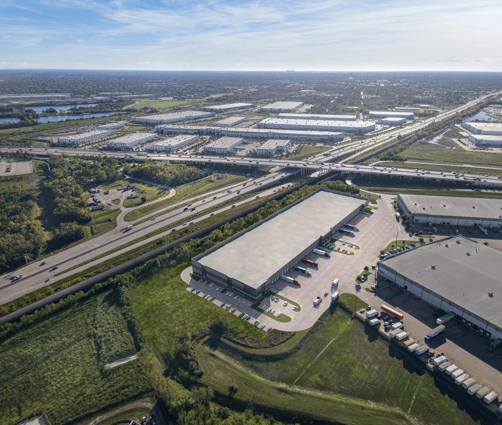
Fontana’s road and rail system supports a large freight market. A drone visit still needs the individual property’s gate instructions, staging approval, and a safe separation from active yard movement. In a distribution area such as Mira Loma Industrial Complex, the property manager confirms truck circulation and safe separation from active loading. We place the launch and recovery points only after that site review.
Choose the roof areas to capture
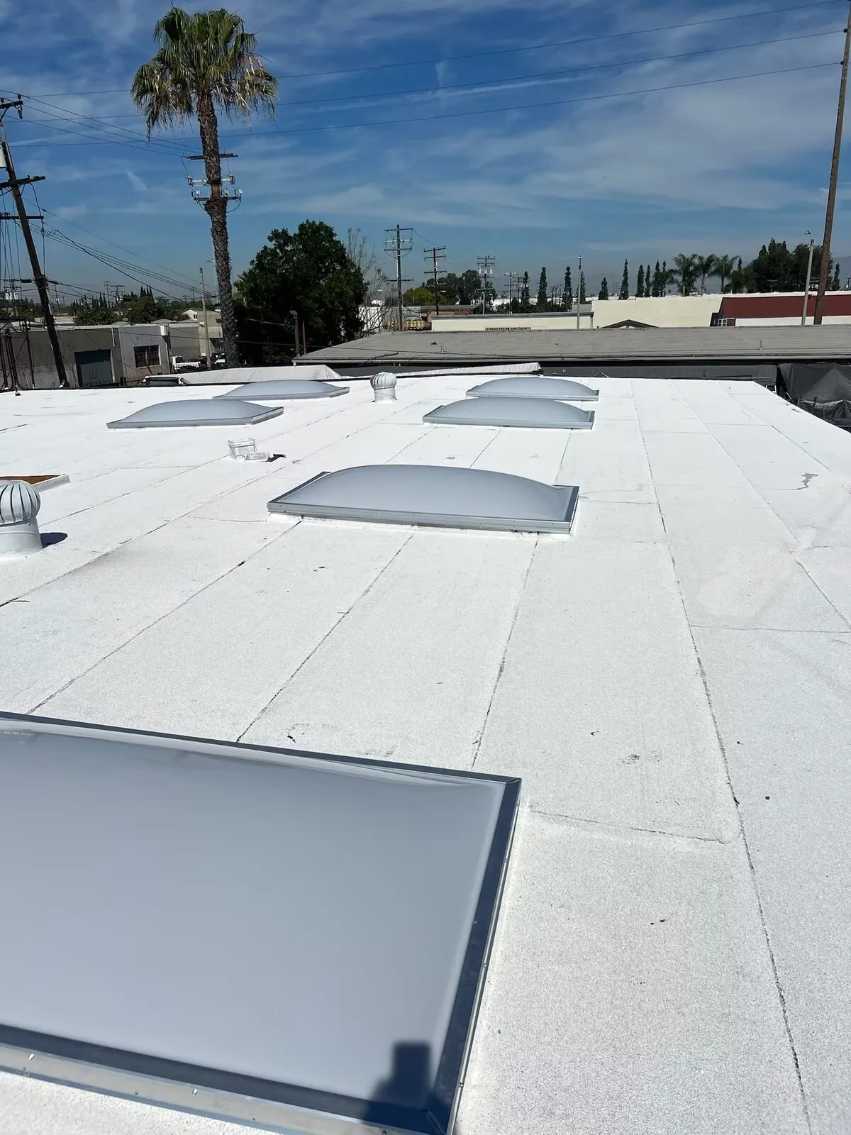
The flight plan divides the roof into manageable passes. We identify parapets, ridges, mechanical zones, drains, skylights, loading canopies, and additions that may change the roof outline. A consistent image angle helps compare visible details across sections and gives the owner a map for later discussion. Where a tree, building, screen, or rooftop equipment blocks the view, we record the limit instead of presenting the hidden surface as inspected.
Fontana’s industrial areas include trucking, warehousing, and distribution uses, so yard access is part of flight planning. We confirm the actual roof dimensions and access boundaries at the property. The hands-on inspection route can then prioritize details that aerial images show as damaged or unclear.
Separate visible clues from roof findings
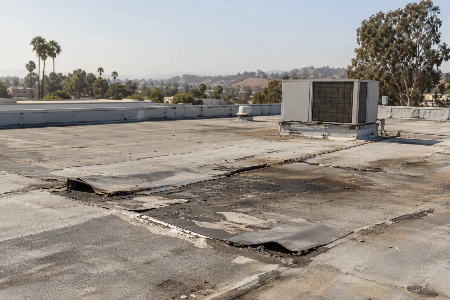
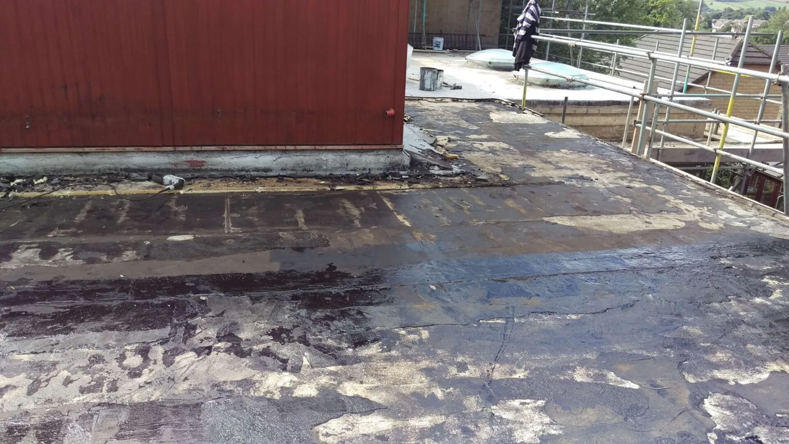
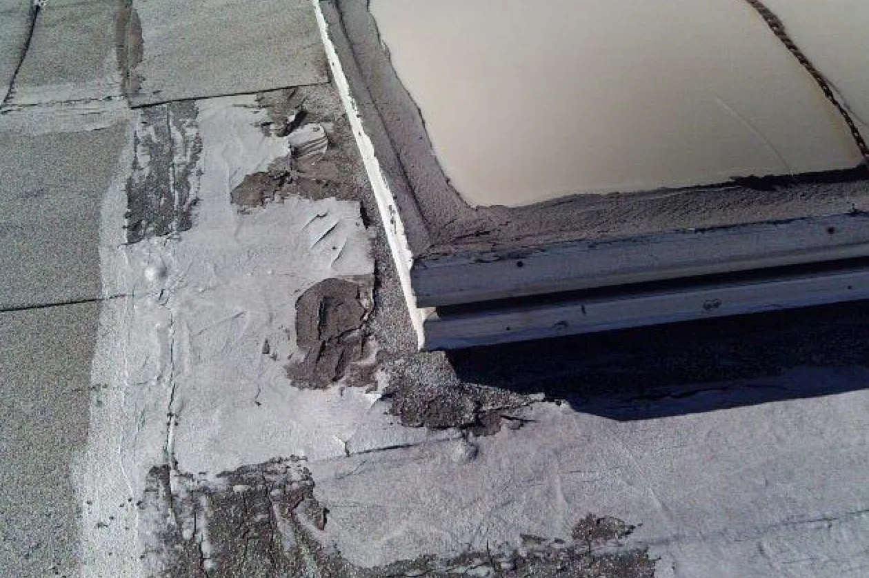
Images can show standing water, displaced debris, an open-looking seam, a puncture, or a difference in material color. Those are visible clues, not a complete diagnosis. Shadow, reflection, surface dirt, and angle can make similar conditions look different. We compare the image with roof records and, where possible, a field view from a safe position. A photograph may locate the next test or document a change, but it cannot prove a seam is watertight or confirm the condition of insulation below the membrane.
Fontana’s hot summers expose roofs to recurring heat, while seasonal Santa Ana winds can cause property damage across Southern California. Those conditions make photos of perimeter metal, rooftop equipment, and windward details useful after an event. We pair an image with the owner’s event records and a close inspection before recommending a storm-related repair scope.
Turn the overview into field checks
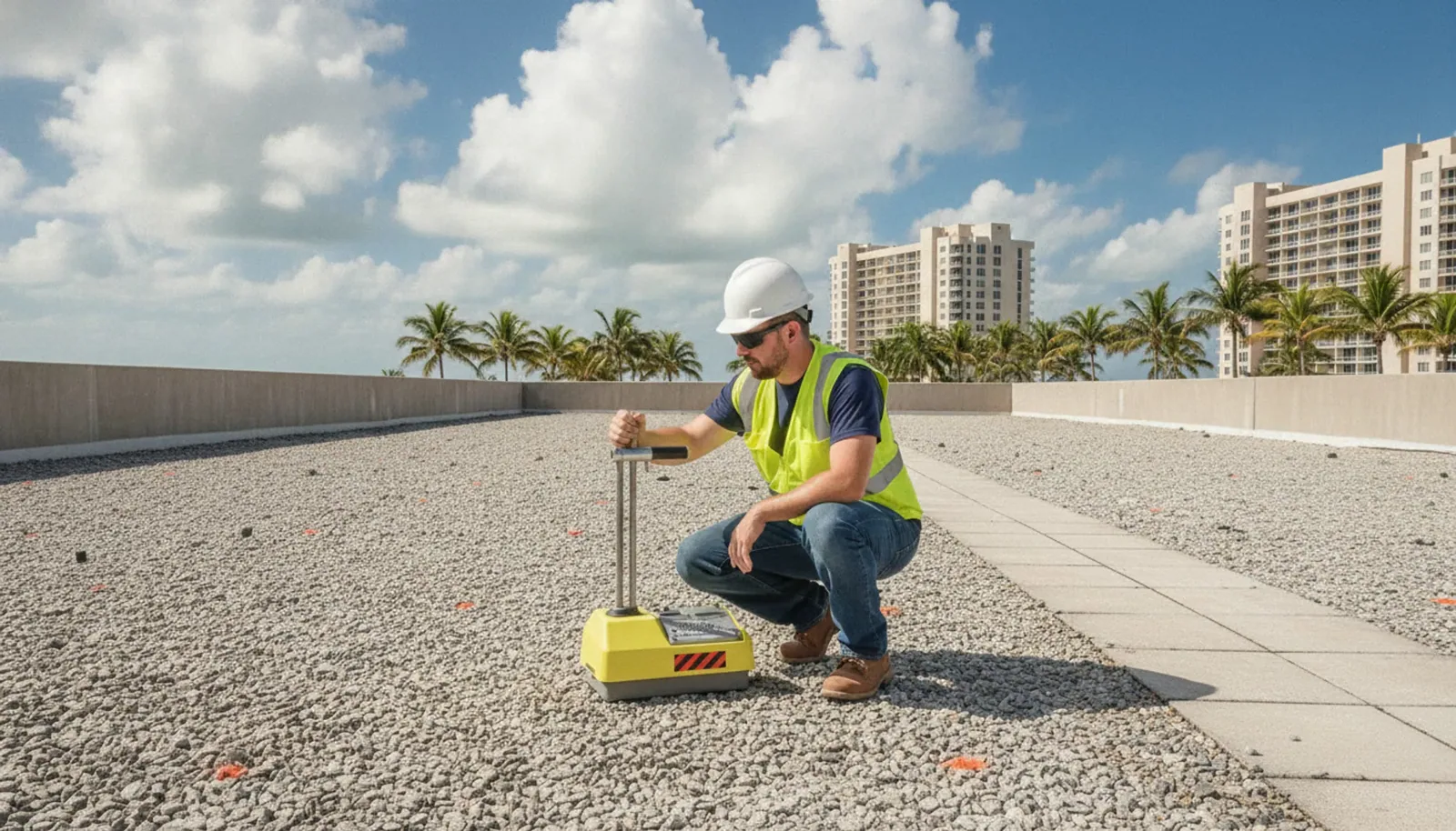
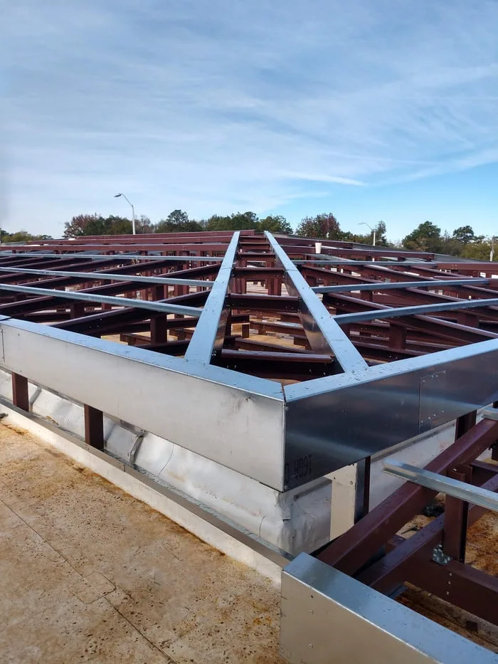
Once the owner and project team review the images, we mark locations for hands-on examination. That may include a seam, roof opening, drain, curb, parapet, or area above a reported interior leak. If concealed moisture affects the decision, an infrared moisture survey or approved test cut can add information that aerial imaging cannot provide. Each test location has an authorization and closure method before the assembly is opened.
We document what each method establishes. A drone image locates a visible condition. A close field check examines the surface and connection. A core cut confirms the layers at one test point. The report avoids stretching one result across a roof area that was not tested. In the Southwest Industrial Park, a manager may use that location record to coordinate later access around trucking and receiving, while following the building’s operating restrictions.
Deliver images the owner can use
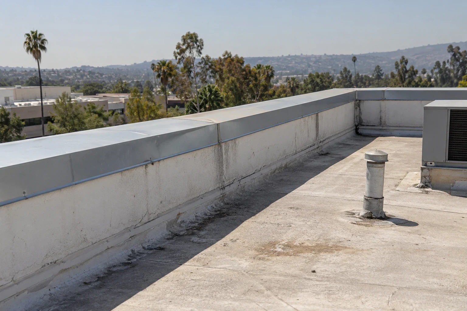
The image set should help a facility team recognize where each view was taken and what decision it supports. We organize files by roof zone, mark obstructed or excluded areas, and connect key images to the inspection report. If a suspected defect needs repair, we identify the close-up work required before setting a quantity. A site-wide image folder without locations or next steps is difficult to use for a bid, maintenance request, or capital review. We label the observation, date, and direction of view so a facilities contact can return to the same roof zone and compare later findings. For a portfolio, consistent zone references help managers spot visible changes that warrant another visit. We arrange any close inspection from the same access route, photograph the detail at useful range, and identify the responsible contact for the next service window.
For a Fontana property that serves both office and industrial operations, the report can mark access and staging considerations alongside roof observations. Fontana has logistics, manufacturing, healthcare, retail, education, and civic properties. The images show visible conditions at the site, and the report identifies details that need close inspection.
Know when another method is needed
Drone imaging is not the right method for every inspection. Restrictions, wind, narrow flight paths, overhead wires, privacy requirements, or poor visibility may limit coverage. Hands-on review is still needed for membrane condition, material compatibility, fasteners, and details that require touch or measurement. Infrared work also needs suitable conditions and interpretation. We select the method to answer the owner’s question rather than substitute an image for a necessary field check.
We provide the captured views, roof-zone references, visible observations, limits, and recommended follow-up. If the owner needs a repair, a defined repair scope identifies the material and connection to be corrected. If findings suggest a wider issue, the replacement evaluation can compare removal with a recover or repair. Share access windows, property restrictions, leak reports, and the decision deadline before scheduling so we can plan a productive flight and handoff.
Frequently Asked Questions
Can a drone tell whether roof insulation is wet?
No. A standard aerial image shows surface conditions, not concealed insulation. It can help locate an area for infrared review or a direct test, but those methods and their findings must be reported separately.
Will a drone replace walking the roof?
Not when the decision depends on seam condition, attachment, material compatibility, or a close flashing check. Aerial views provide coverage and context; hands-on inspection verifies details that the camera cannot touch or test.
What can prevent a planned drone flight?
Weather, flight restrictions, site rules, overhead obstructions, or active operations can limit safe and useful coverage. We confirm those conditions with the owner and adjust the method when needed.
Can the images support a roof repair estimate?
They can identify visible locations and help plan access, but the estimate may require close inspection, measurements, and material confirmation. We separate image-based observations from quantities confirmed in the field.
How should our maintenance team use the image set?
Use roof-zone labels to direct follow-up checks and compare later images from the same views. Keep the flight date, visible conditions, exclusions, and recommended tests with the property’s roof records.